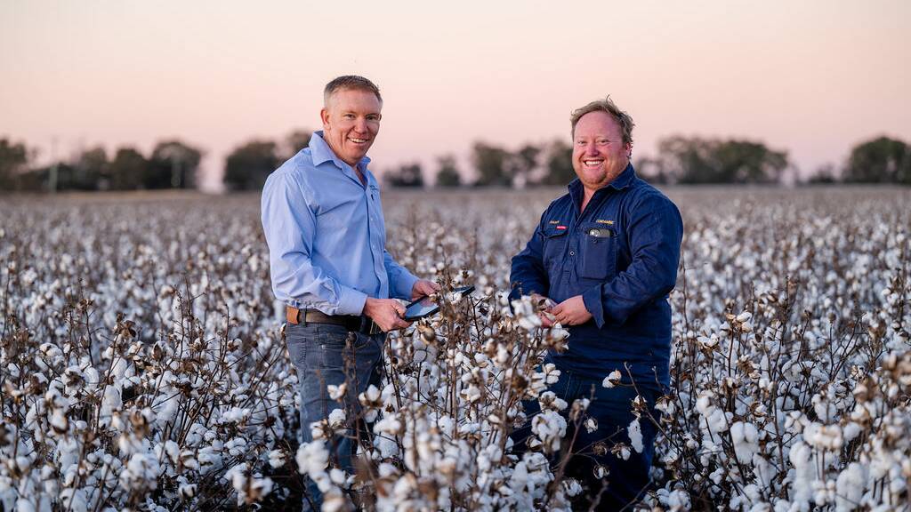
Farmers are often blamed for the slow adoption of technology, but they're not at fault, according to a precision agriculture expert.
"We've blamed the user, but it's not the user who has failed. It's actually the technology's fault," DataFarming managing director Tim Neale said.
"Farmers have always been willing and able; they just haven't had it presented to them in the right format before."
The Toowoomba businessman said that was largely due to a lack of people and investment in farming technology.
"The way I look at it is if I was to build a mobile phone for 40,000 people, it would be a substandard mobile phone. But if I build a mobile phone for 40 million people, or 400 million people, it's going to be a very good mobile phone," Mr Neale said.
"Because there's only 40,000 customers for a particular precision agriculture product in Australia, there hasn't been the amount of money, investment or demand to actually do that. So, everything's sort of bootstrapped. And that's led to poor adoption rates among other things."
Mr Neale said enough people and investment were now coming to the sector to turn that around.
"Over the past 12 to 18 months, agriculture really has become the cool kid on the block."
Since starting in 2017, DataFarming says about 40pc of Australian grain farms now use their cloud-based Digital-Agronomist platform, which uses satellite imagery to help agronomists and producers manage variability in yields and inputs.
The company has also tapped into markets in the UK, South America, Africa and Europe, but now there's enough confidence to expand their global reach, launching the first round $5 million capital raise on the AgriFutures growAG platform.

University of Southern Queensland researchers have also been working to improve the adoption of big data, teaming up with Land Solution Australia to launch a cloud-based platform which promises to save farmers time and money.
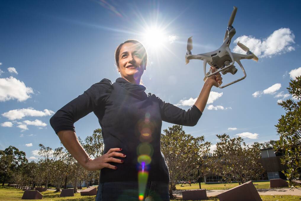
Surveying and positioning senior lecturer Dr Zahra Gharineiat said UAS ortho-Cloud was developed specifically for users with little or no knowledge about processing aerial drone imagery.
"A farmer just has to upload their aerial images into the cloud-based service and it will automatically create precise maps of their crops," Dr Gharineiat said.
Read more


