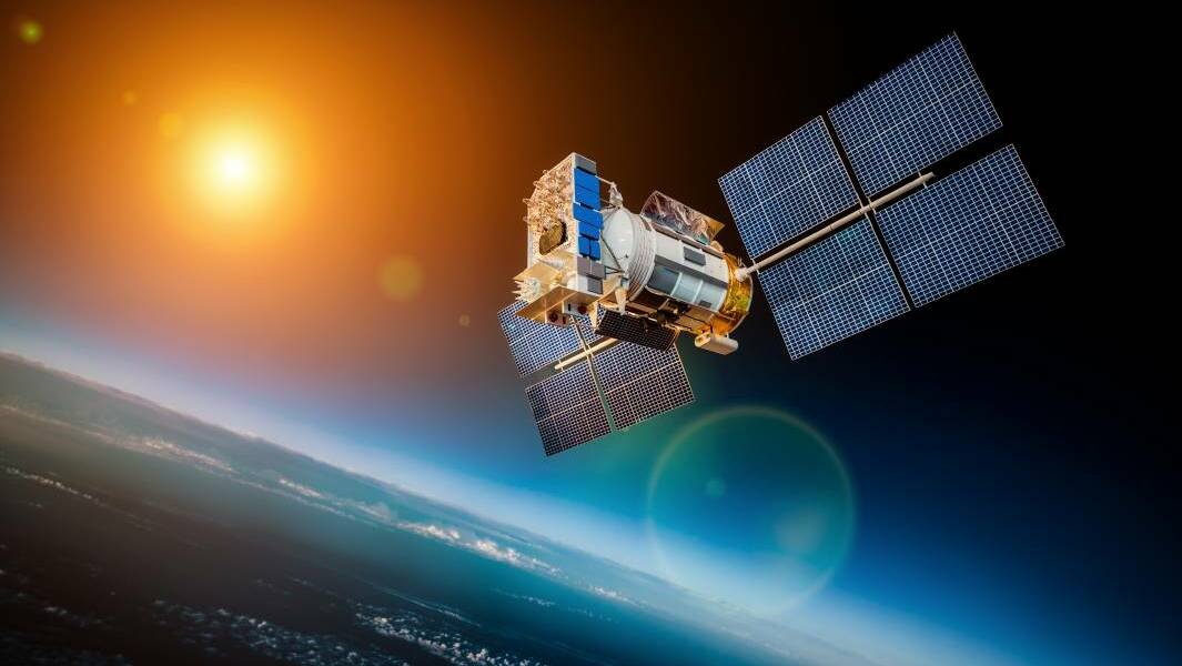
Agribusiness is tapping into hyper-accurate satellite positioning systems to develop new services and improve farm productivity.
Subscribe now for unlimited access to all our agricultural news
across the nation
or signup to continue reading
Minister for Resources and Northern Australia Matt Canavan announced three businesses had received $50,000 seed funding to develop pilot projects using Geoscience Australia's Digital Earth Australia technology.
The Digital Earth technology uses second generation Satellite-Based Augmentation System technology.
SBAS which takes signal from Global Positioning System (GPS) satellites and makes it more accurate and reliable. It increases the location accuracy of GPS, which is between 5 and 10 metres and takes it to 0.5m accuracy.
That accuracy can be used in farming applications such as cattle tracking collars, where movement patters can indicate calving or illness, or in cropping rotations, border fencing and so on.
RELATED READING:
First generation SBAS is used in other countries, but Australia is leading the way with the second generation of the technology.
The seed funding recipients are:
- Brisbane-based Cibolabs will use Digital Earth to improve on farm decision-making for livestock producers
- Toowoomba-based DataFarming will use Digital Earth data to automatically map paddock boundaries
- Perth-based NGIS Australia will integrate Digital Earth data and analytics to provide farmers with detailed crop data
"From helping to improve decision-making for Australian red meat producers to mapping paddock boundaries and analysing crop data, these innovative projects will give farmers the information they need to make their farms more productive," Mr Canavan said.
"While the potential on-farm uses for this data is exciting, the reach of programs like Digital Earth Australia go far beyond the farm - think land-use, urban planning and water and resource management just to name a few."


